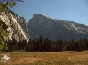

At last word, Yosemite Valley was not threatened
UPDATE 8-26: Over the weekend the fire grew to 200 square miles with only 7% containment. The Rim Fire is now being called the biggest wildfire in the nation.
****
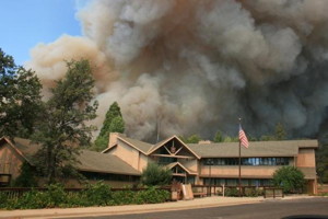
The disastrous Rim Fire around Yosemite Park continued to grow with little containment. Over the weekend, reports said the fire had grown to 165 square miles with voluntary evacuations.
The fire threatened some 2500 homes, hotels and camp buildings near Yosemite Park. In the Park, the fire was burning in a remote area around Lake Eleanor and not threatening Yosemite Valley. The fire had caused closure of a four-mile stretch of State Route 120 West, one of three entrances to the Park from the west side. For ongoing information, check out the Yosemite website at http://www.nps.gov/yose/planyourvisit/rimfire.htm


Subject: Rim Fire perimeter and wind data The following link will always display the most perimeter of the Rim Fire straight from the GeoMAC server. This is the same server that also provides data to the crews on the fire line. Sometimes the data on the InciWeb site is not… Read more »