Inyo National Forest Plans Winter/Spring Prescribed Fires
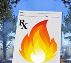
Thinning the forest through pile burning restores the forest to more natural conditions
In a press release, the Inyo National Forest, which includes the Mono Lake, Mammoth, and White Mountain Ranger Districts of the Inyo National Forest announced that it will be implementing prescribed fire projects in the upcoming winter and spring months as conditions permit. Crews take advantage of snow on the ground to complete vegetation pile burning in locations throughout the forest. Thinning and pile burning restores the forest to more natural conditions. Crews then focus on these areas for prescribed fires to help return the natural fire cycle.
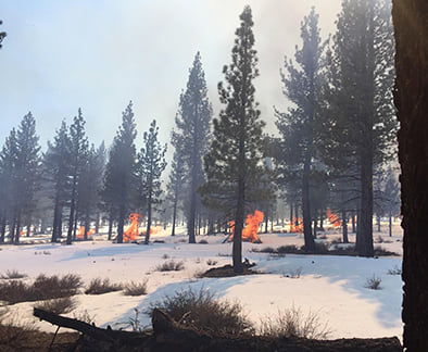
Prescribe burns help keep the forest in a more natural state and balance.
Prescribed fires are planned months in advance, are dependent on meeting the prescription parameters for temperature, wind, relative humidity, air quality, fuel moisture, etc. These areas are prepared in advance with fire hose, water, and other equipment to help ensure a higher level of control.
The correct level of fire-fighting staff is in place upon ignition. Fire intensity (flame length) can be controlled through ignition methods. These projects help to reduce hazardous accumulations of vegetation and fuels, reduce overall fire danger to firefighters and the public, build resilience to future cata-strophic wildfires, and produce less smoke than severe wildfires.
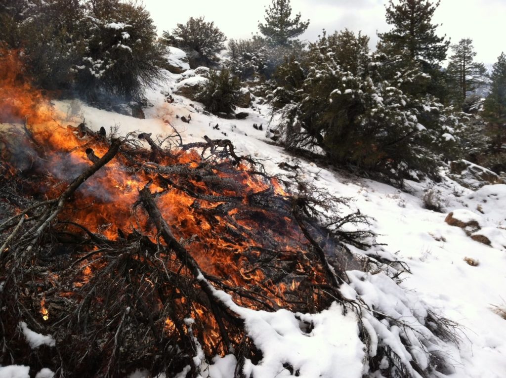
Reducing the fire fuel load is critical to controlling and maintaining a health forest.
Projects may be completed in:
- Lee Vining (DeChambeau Ranch area, Lee Vining Ranger Station); piles
- June Lake Loop; piles
- Mammoth Lakes Basin; piles
- Earthquake Fault off of Minaret Vista Road; piles.
- Old Shady Rest Campground off of Sawmill Cutoff Road; piles
- Crestview Fire Station west of Hwy 395; piles
- McGee Creek; piles• Upper Owens River/Casa Diablo; prescribed fire
- Pine Creek; piles• Bishop Creek; piles
As prescriptions are met, more detailed project information will be released. Smoke may be visible at times from Highways 395, 158, 167, 120 and 203, as well as the communities of Mono City, Lee Vining, June Lake, Mammoth Lakes, Crowley Lake, Sunny Slopes, and Tom’s Place. All prescribed fire activities will be coordinated with the Great Basin Unified Air Pollution Control District in order to provide the best smoke dispersion and to reduce impacts to Eastern Sierra communities.


